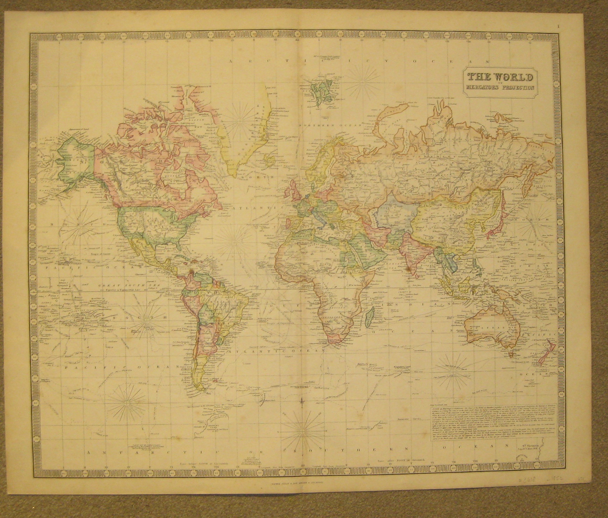
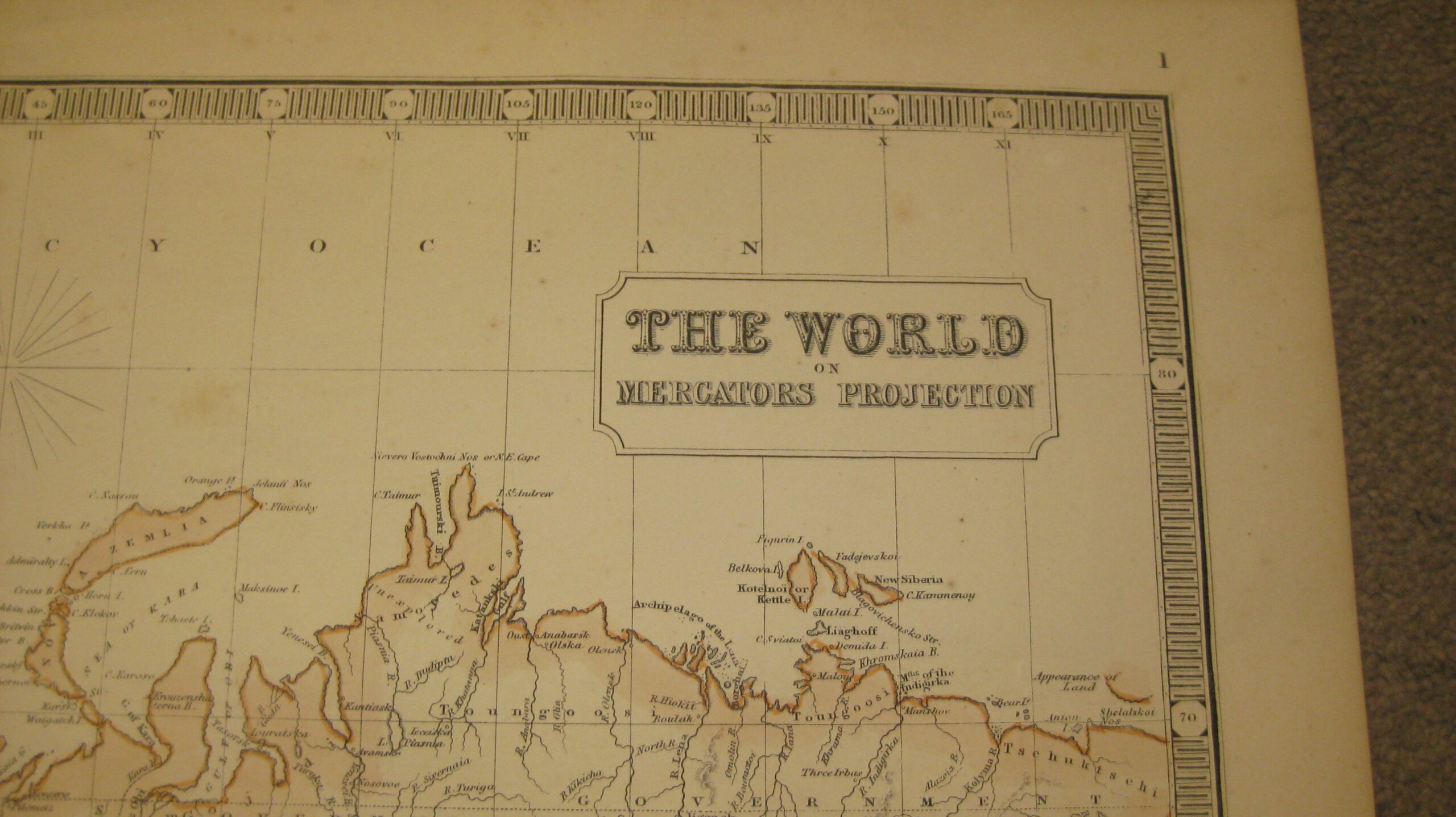
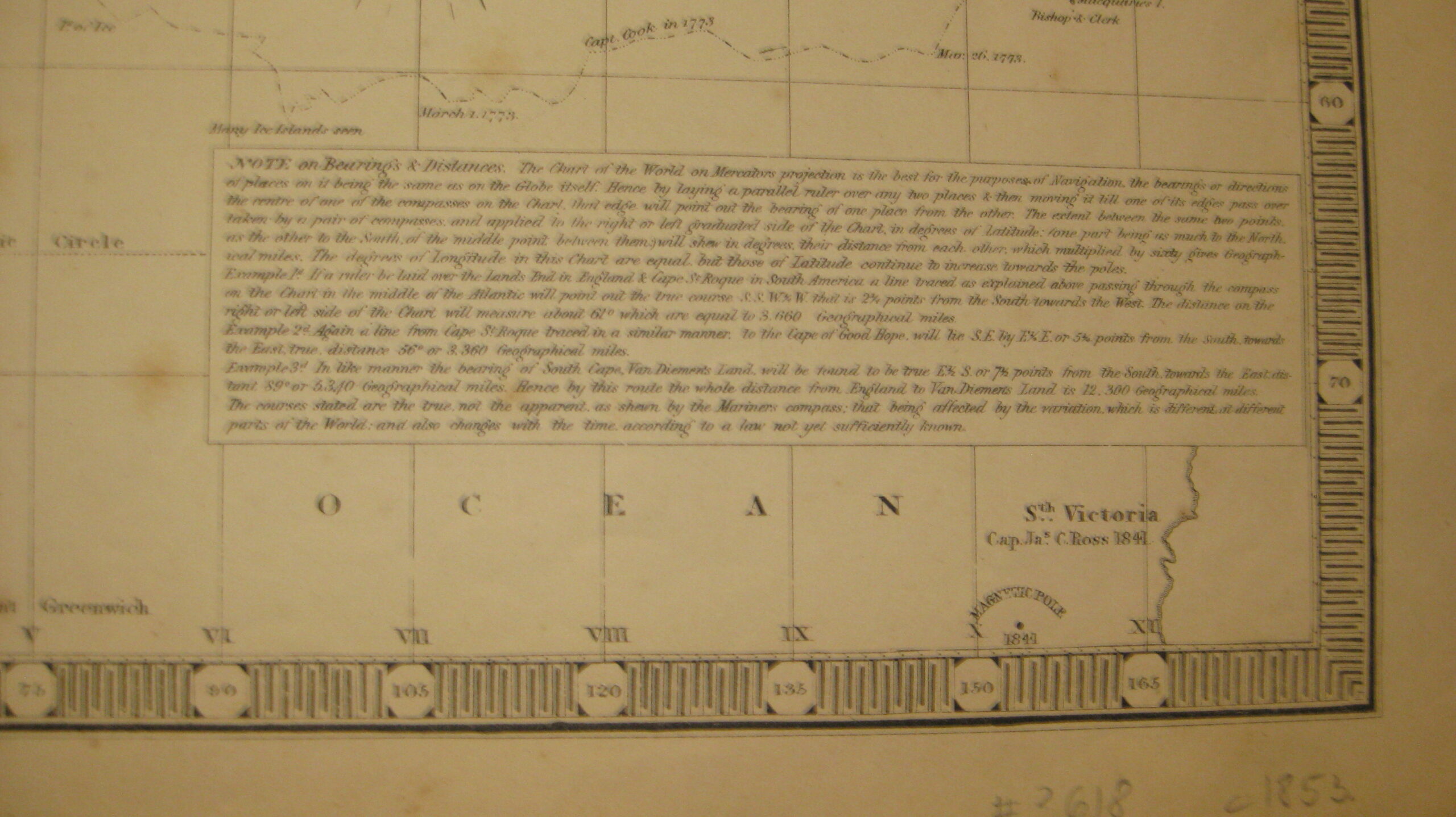
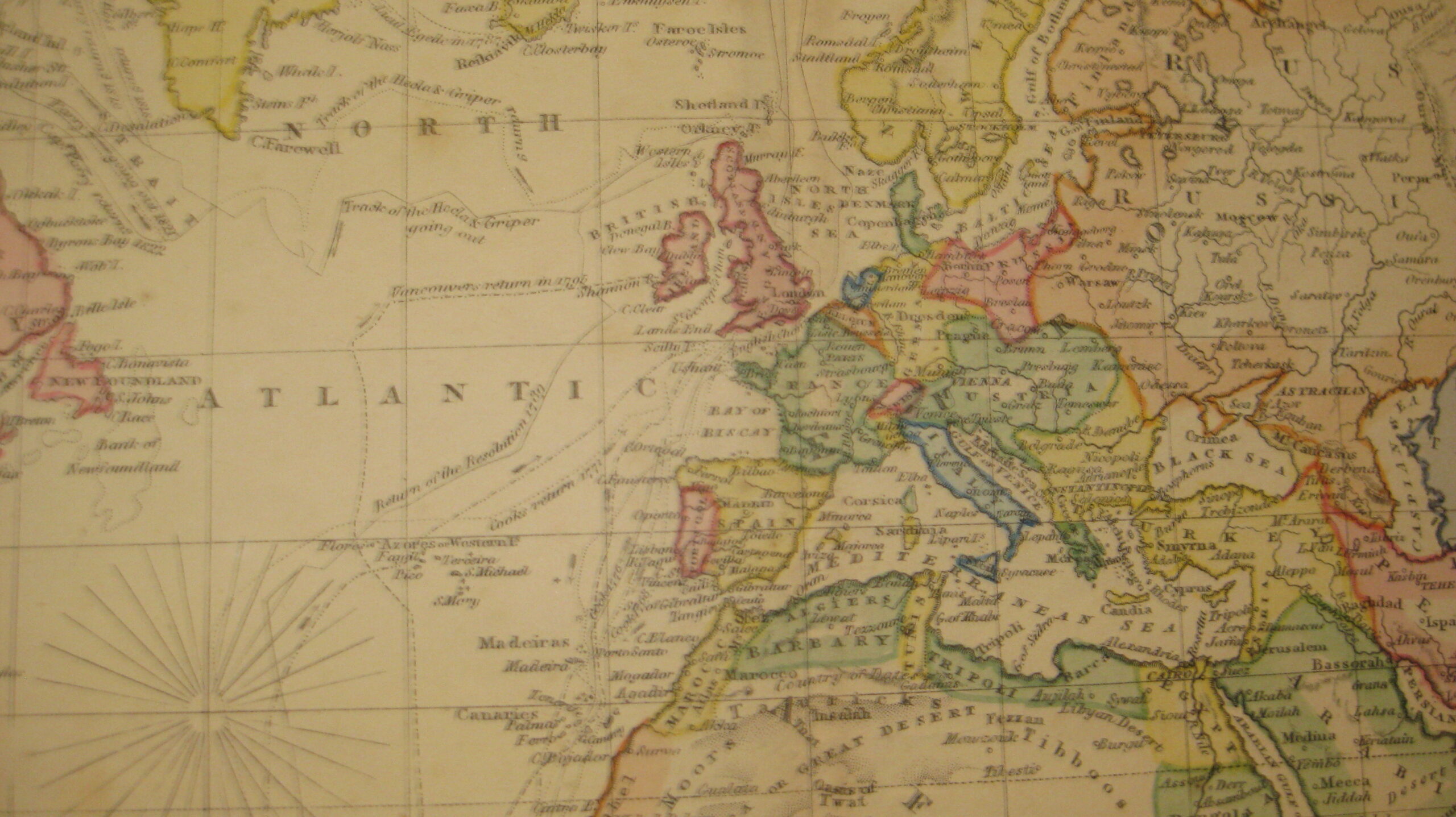
A beautiful map of the World on Mercator’s Projection from George Philip’s ‘Imperial General Atlas’
£375
Product Description
A beautiful map of the World on Mercator’s Projection from George Philip’s ‘Imperial General Atlas’. Very detailed map stating shipping routes of various explorers. Showing plenty of ‘pink bits’ of the Empire
Lithographed map with old colouring, overall 54 x 66 cm, image 50 x 61 cm, fold as issued, slightly browned, some foxing, small split in lower centrefold not affecting image, otherwise very good condition. Verso blank.
George Philip & Son London & Liverpool c1853
Size 67 x 55 cm
Price £375
Stock no. 6055